NAVIONICS ELECTRONIC CHARTS
Navionics Hotmaps Platinum Lake Maps - East On Sd/Micro Sd
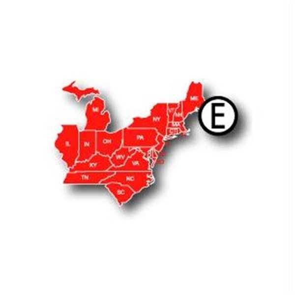
Mfr # MSD/HMPT-E6. HotMaps Platinum Multi-Dimensional Lake Maps - with 1000 of Navionics exclusive high-definition lake maps to 1' contours featuring 3D bottom view. top-down photo/map overlay and panoramic lake pictures. NEW! FREE Fish'N Chip high-definition fishing detail for US Great Lakes waters now included in HotMaps Platinum Canada. North and East regions. Plus. over 15.000 additional lakes with underwater structure. improved accuracy. major roads. county lines and more. East: Covers CT. DE. IL. IN. KY. MA. MD. ME. MI. NC. NH. NJ. NY. OH. PA. RI. SC. TN. VA. VT. WV Product : NAVIONICS HOTMAPS PLATINUM LAKE MAPS EAST ON SD/MICRO SD Manufacturer : NAVIONICS ELECTRONIC CHARTS Manufacturer Part No : MSD/HMPT-E6


